Geography of Georgia
Meanwhile, to the east runs the Alazani River, and the Black Sea is embracing Georgia from the west, connecting it to Europe.
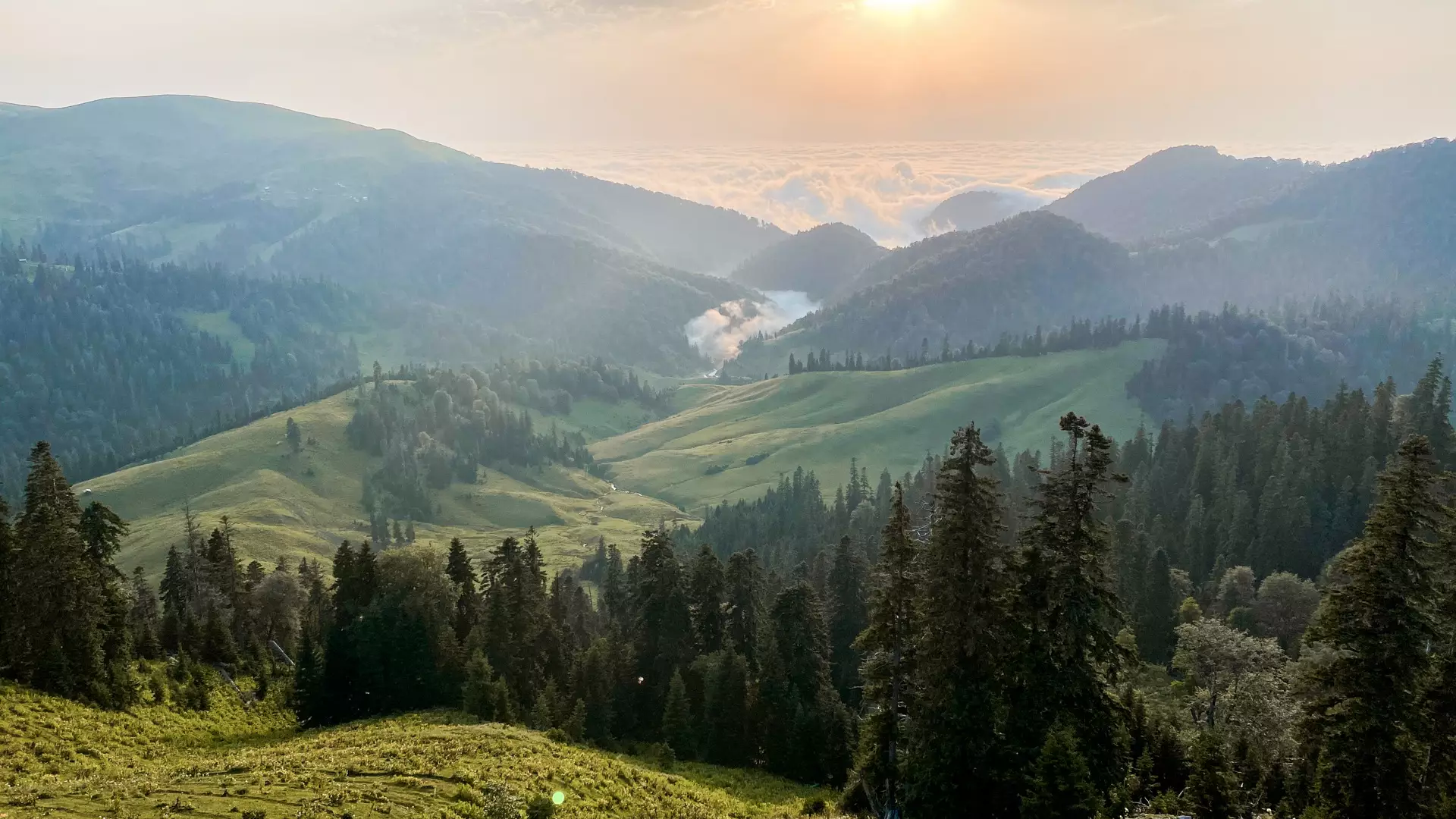
The landscape of the country is so incredibly varied that you will find a different climate in every part of it. On one summer’s day you can get a tan sunbathing by the Black Sea in the morning, and then, within a few hours drive, be at a glacier in the mountainous region of Svaneti.
Georgia’s Borders
Georgia has land borders with four countries, with the Russian Federation to the north, Armenia and Turkey to the south, and Azerbaijan to the east and southeast.
The geographical center of Georgia is the village of Khevi, nestled amid towering mountains covered with forests in the Kharagauli area.
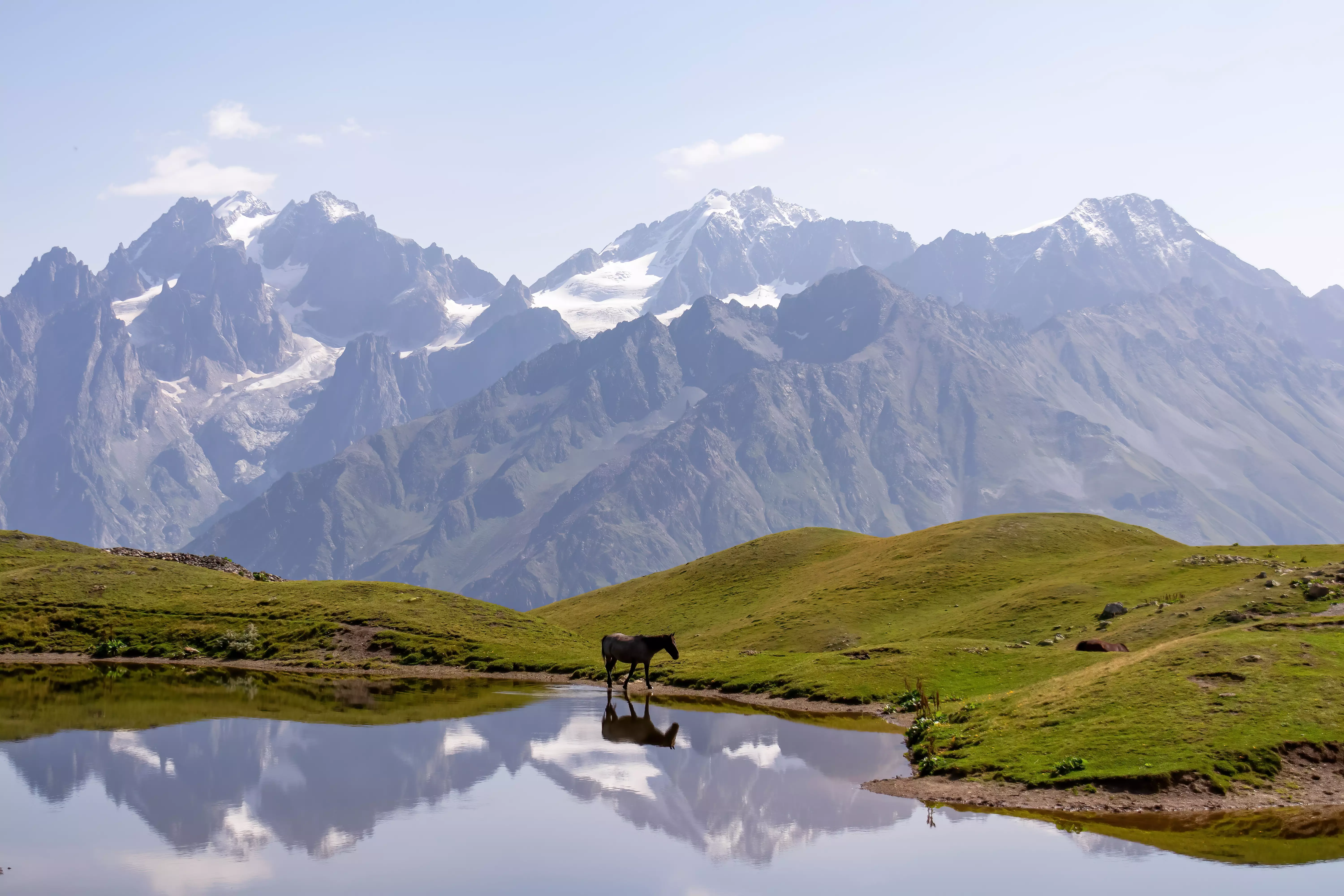
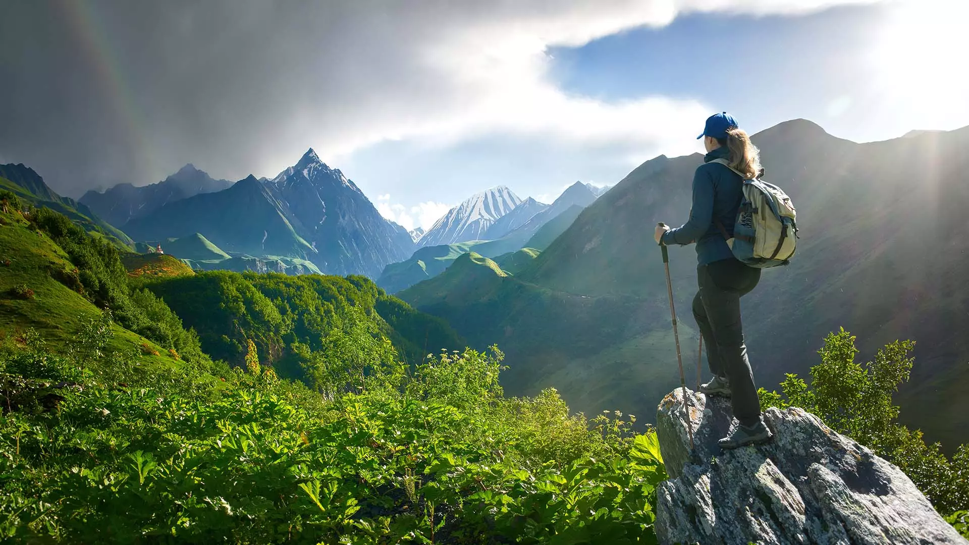
Georgia’s Mountains
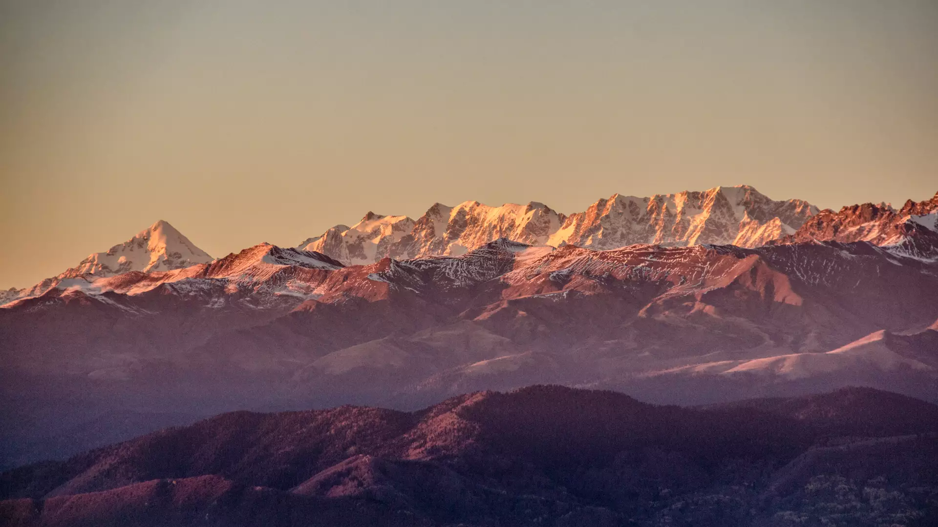
One-third of Georgia’s territory is covered with mountains. The tallest peaks of the Greater Caucasus Range are Shkhara (5,203 meters), which is deemed one of the most difficult in Europe, Kazbegi (5,054 meters), Janga (5,078 meters), Tetnuldi (4,852 meters), and Ushba (4,700 meters). In addition, the Lesser Caucasus Range is in the south is lower with a highest point being Abuli, 3,301 meters above sea level.
Those peaks, with their various difficulties, attract intrepid alpinists, rock climbers, mountaineers, and amateur hikers.
Georgia’s Climate
In Georgia, you can experience nearly all types of climate in a subtropical climate zone, such as humid subtropical, moderately humid, moderately dry, and continental. This diversity is attributable to Georgia being located on the border between subtropical and temperate climate zones, as well as the natural barriers created by the Caucasus Mountain Ranges and the Black Sea.
While traveling through Georgia, the climate of the western Georgian lowlands is significantly different from that of the eastern Georgian lowlands, and the natural conditions of the mountain regions of the Greater Caucasus are different from those of the mountain regions of southern Georgia. Given the relatively small land area of the country, in Georgia you can encounter completely different climatic conditions in a matter of hours.
Georgia’s Land Area
The land area of Georgia is 69,700 square kilometers. The northernmost point of the country is in the region of Abkhazeti, on the shores of the Psou River, near the village of Aibga. The southernmost point is near Okuzdaghi Mountain (on the border with Armenia), while the westernmost point is near the village of Leselidze, and the easternmost point is where the Agrichai and Alazani Rivers meet.
Georgia’s Water Resources
Georgia is one of the most water-rich countries in Europe, based on its total renewable water resources per capital.
Within the country, there are around 860 freshwater lakes, more than 26,000 rivers, and 43 artificial reservoirs. Many of these attract tourists as well.
Among the artificial reservoirs, Enguri HPP stands out for its arched dam, which is one of the tallest in the world.
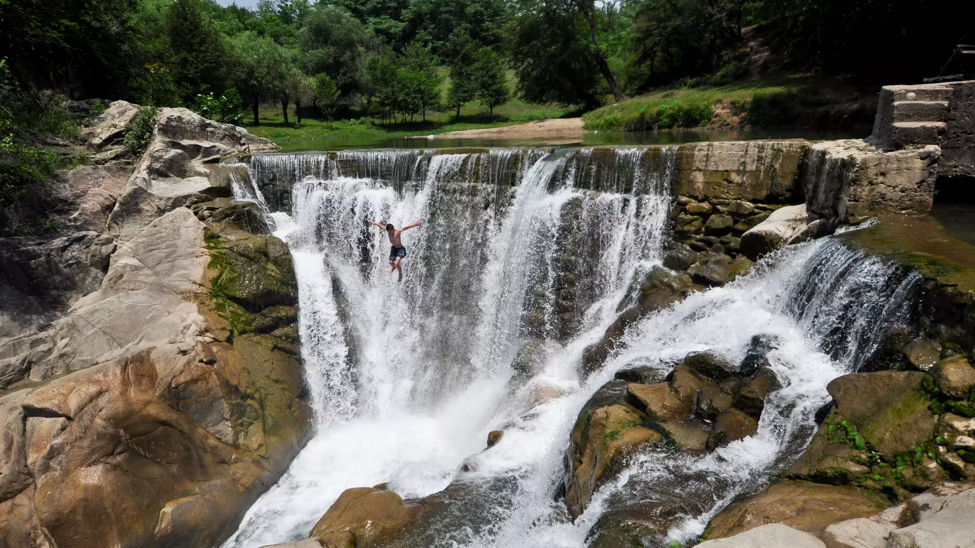
Georgia’s Rivers
.webp)
There are so many rivers in Georgia that their total length exceeds the circumference of the Earth: the total length of all rivers combined in Georgia is 60,000 kilometers, while the length of the equator is 40,075 kilometers.
The rivers of western Georgia (making up more than 75% of the country’s rivers) flow into the Black Sea.
Nearly all of the rivers of eastern Georgia, on the other hand, flow into the Mtkvari, which flows through Azerbaijan on its way to the Caspian Sea. The Mtkvari is the longest river in the South Caucasus, running 1,384 kilometers. It has its source in the mountains of Turkey, and its section within Georgia extends to 383 kilometers.
The longest river in Georgia is the Alazani (406 kilometers), with the Iori (343 kilometers) and the Rioni (327 kilometers) following behind.
In the spring, the majority of the rivers are fed by snowmelt, while in the summer and winter they are fed by underground waters.
The majority of the rivers in Georgia have their sources in the mountains, after which they flow through narrow valleys. In some cases, this makes for optimal conditions for rafting and kayaking. Specifically, the Mtkvari, Rioni and Aragvi Rivers are the most popular for such sports.
Georgia’s Lakes and Waterfalls
Georgia is rich in lakes and waterfalls, which entice lovers of hiking, fishing, and canyoning out into nature during the winter and spring. In the areas around the lakes, you can embark on walking, vehicle, bike, and horseback tours.
The majority of the country’s lakes are centered around the slopes of the Lesser Caucasus Range, in the Samtskhe-Javakheti region.
For example, in this region is Paravani Lake, which has the largest surface area of any of the country’s lakes and is the most abundant in fish (37.5 km2, 2,073 meters above sea level), with Kartsakhi Lake (26.3 km2, 1,799 meters above sea level) not far behind.
Elsewhere, in the Colchic Lowlands of western Georgia you can take a boat or a cutter onto Paliastomi Lake, which has the third-largest surface area of all of the lakes in Georgia (18.2 km2, 0.3 meters below sea level).
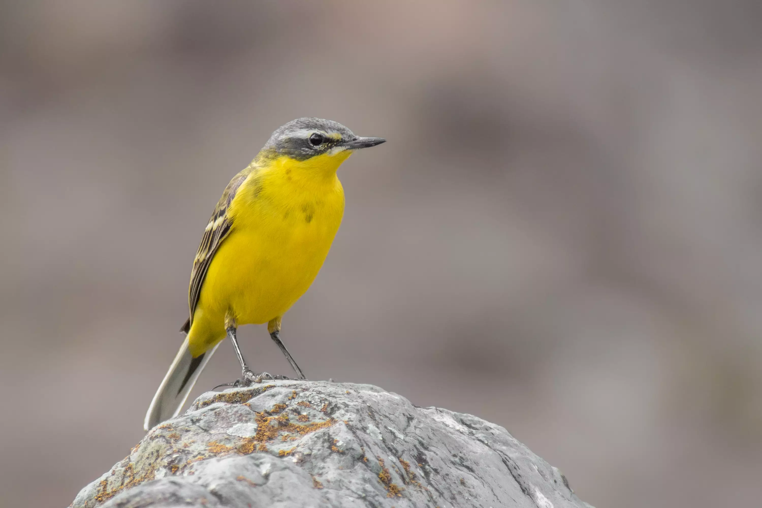
Migration Routes of Birds
https://storage.georgia.travel/images/autumn-migration-adjara-sakhalvasho-gnta.webp
Georgia, from an international perspective, is also extremely significant for migratory birds.
For example, on the Black Sea shores in Ajara, the number of migratory birds amounts to more than a million from August to October. The migration corridor of the eastern Black Sea – the so-called Batumi Migration Funnel – is, along with Gibraltar, Messina in Sicily, and the Bosphorus, one of the four most important places in Europe for migratory birds.
In this vein, some of the best places for birds to rest, and therefore for them to be observed, are Stepantsminda, the Vashlovani Protected Area, the lower parts of the Alazani and Iori Rivers, and the Javakheti Plateau.
Cookie Policy