Mestia – Zhabeshi
Mestia
The town of Mestia (1,500 m above sea level) is the administrative center of Zemo Svaneti region and serves as the starting point for many hiking routes.
The 17-km long hiking route from Mestia to Zhabeshi follows the Mulkhura River Valley, and passes through the villages of Lakhiri, Cholashi, Majvdieri, Chvabiani, and Tsaldashi. It takes about 6 to 7 hours to cover the distance.
Zhabeshi
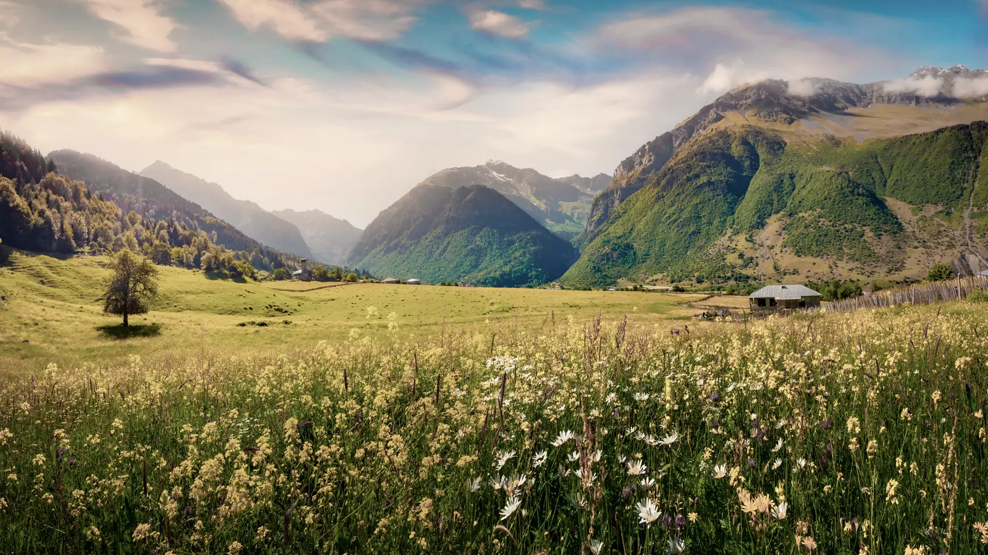
The village of Zhabeshi is located 1,600 meters above sea level, and the highest point on the route from Mestia is Gvaldi Pass, lying 2,000 meters above sea level.
Zhabeshi is located at the base of Tetnuldi Peak, and the beautiful slopes of Tetnuldi (4,852 m) are clearly visible from there.
In the village, you can see the 11th-century Church of the Savior, which is an outstanding example of Georgian architecture, with fragments of artwork also preserved within.
Staying at a family hotel in Zhabeshi, expect to be hosted according to local customs and treated to the traditional cuisine. Meanwhile, camping sites are also available in the village.
Having walked all the way there, you can mercifully travel by car on the return leg from Zhabeshi to Mestia.
Cookie Policy