Kharagauli
History of Kharagauli
In the feudal age, the current territory of Kharagauli municipality was of strategic importance, as the roads connecting western and eastern Georgia passed through it along an intensively populated highway. This is confirmed by the Satrap graves, which were discovered in the village of Bori and date back between I BCE and III CE.
The name Kharagauli originates from the Silkroad connecting Europe and Asia. The place where Kharagauli is currently located was a resting area for Caravans that often stopped in the wide expanses of the Chkherimela valley. During those resting times, lots of provisions (“khoragi” in Georgian) were collected in the gorge, hence the name of the town Kharagauli.
Kharagauli nature and landmarks
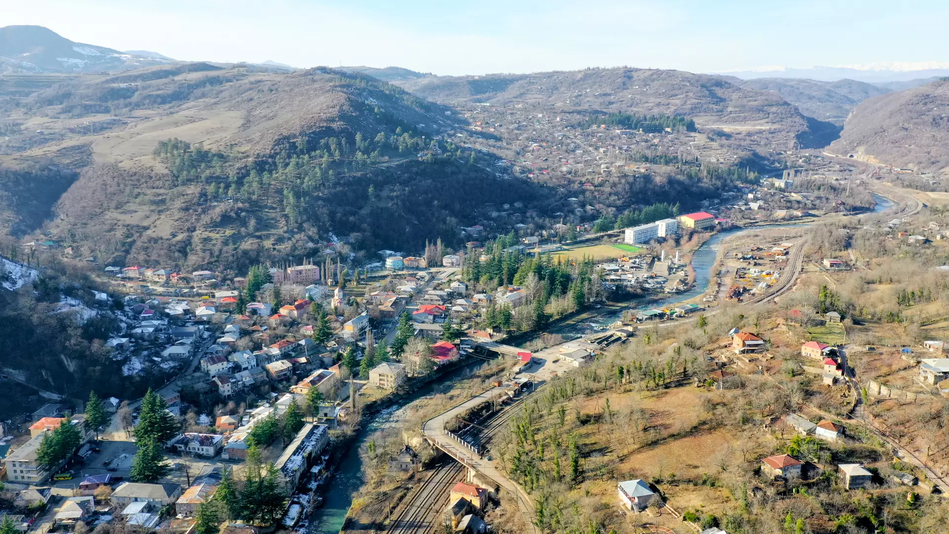
Kharagauli is located on both sides of the river Chkherimela, in a deep, narrow valley. Its landmarks include Borjomi-Kharagauli National Park.
History lovers should visit Kharagauli’s history museum, where a wide range of artifacts are displayed, ranging from the II-I century BCE to the XX century, including art and graphic works, locally discovered golden items from I-IV CE, as well as the Leghvni tomb collection.
Kharagauli also has important historic monuments, such as Ubisi Monastery, Vakhani and Chkheri Fortresses, and manmade caves. Pay a visit to Nunisi and Zvare, beautiful resorts famous for their mineral waters.
Kharagauli’s forests are full of chestnut, oak, ash trees, evergreen and climbing plants. Have a picnic in the shade of the plants by the Dzirula and Chkherimela rivers.
Cookie Policy