Kayaking on the Chakvistskali River
Difficulty
The difficulty rating of the Chakvistskali section ranges from 3 to 4+.
Location
The village of Chakvistavi, where the route begins, is located in Ajara, Kobuleti municipality on Georgia’s west coast. It is completely surrounded by Mtirala National Park.
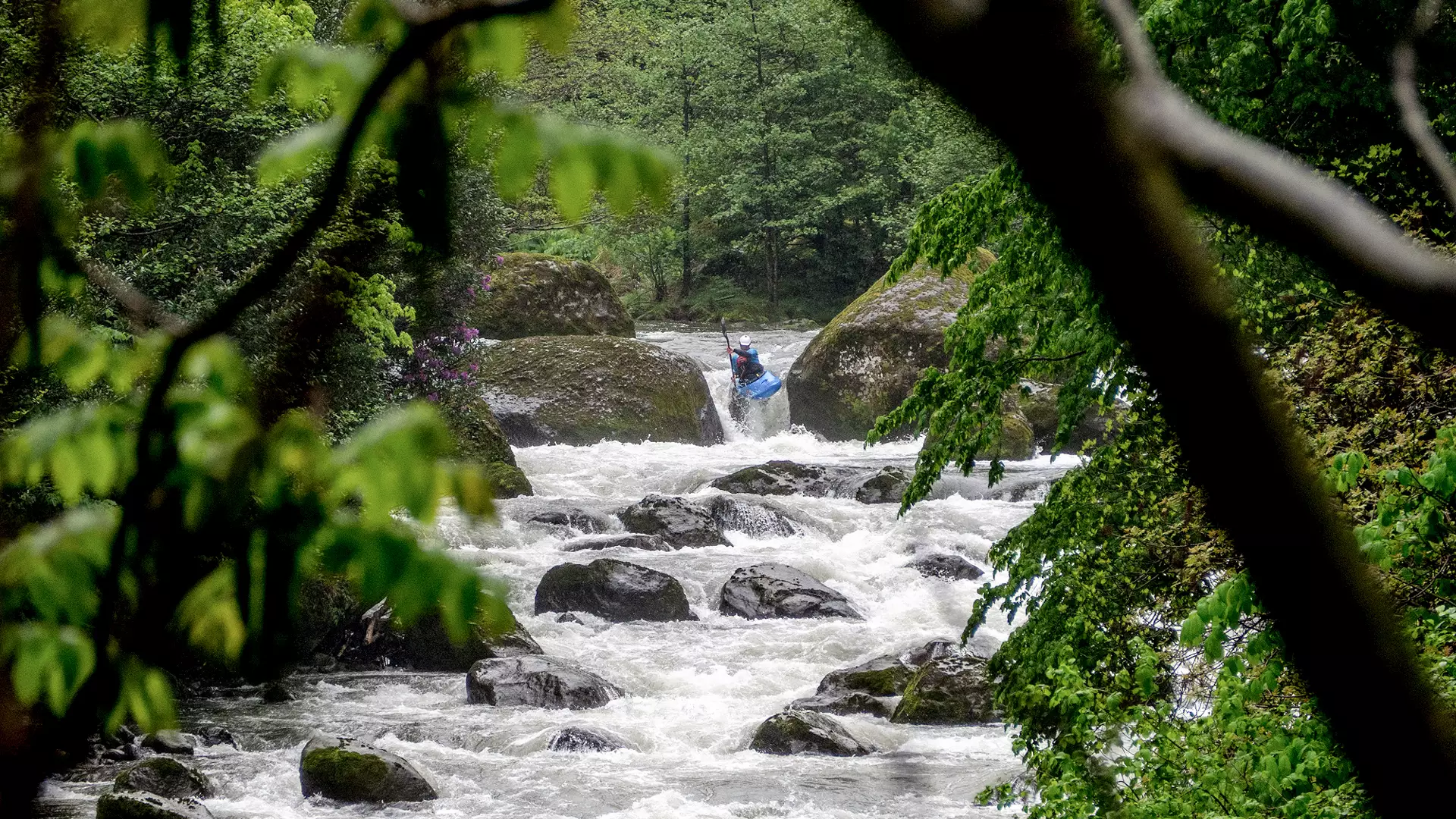
River
The Chakvistskali River has its source on the northwestern slopes of the Meskheti Range, 1,295 meters above sea level. The length of the river is 25.2 kilometers, and is fed by snow, rain, and underground waters, and flows into the Black Sea.
Route
The route starts in the village of Chakvistavi, 315 meters above sea level, and ends in the village of Khala, 140 meters above sea level.
The length of the route is seven kilometers, with a drop in elevation of 175 meters and a difficulty rating ranging between 3 and 4+ (tall and irregular waves, cliffs and whirlpools, clear but narrow exits).
Season
The best months for kayaking on the Chakvistskali are late March, April, May, June, and October.
How to Get to the Starting Point
It is 32 kilometers from Kobuleti to Chakvistavi and you can reach the starting point using any type of motor vehicle.
Safety
You must be experienced in order to take a kayak down this river.
Moreover, it is recommended that the river be descended in the company of a local kayaker or that at very least essential information be obtained from them. To book a tour, contact a tour company in advance.
The minimum age for kayaking is 18.
Cookie Policy