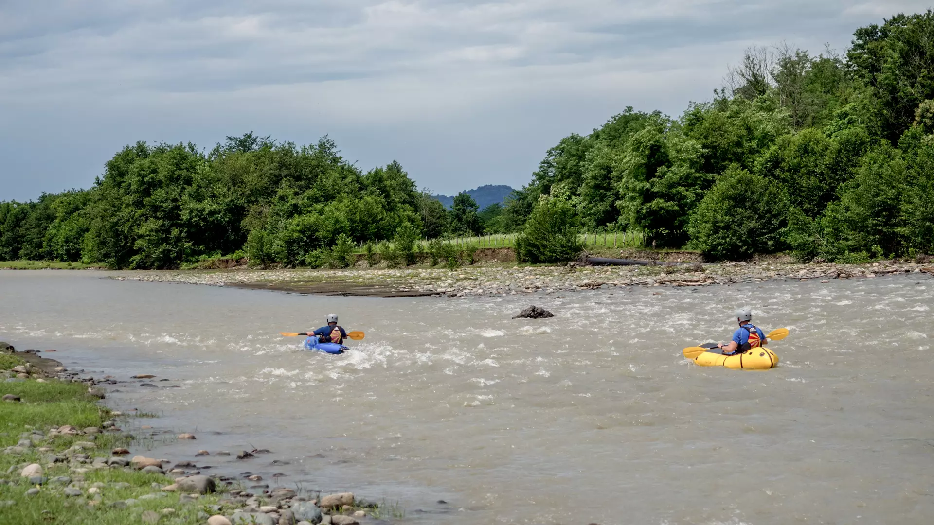
Kayaking on the Supsa River Guria
Difficulty of the River
The difficulty rating for the one section of the Supsa River ranges between 2 and 3.
Location
The village of Guristke, which is near where the route begins, is in Chokhatauri municipality in the western region of Guria, on the southern slopes of the Guria Seri Mountain.
The River
The Supsa River has its source near the highest peak of the Meskheti Range, Mepistskaro, at 2,800 meters above sea level. The Supsa is the longest and mightiest river in Guria, with a length of 108 kilometers. It is fed by rain, underground waters, and meltwater, and it joins the Black Sea near the village of Grigoleti.
The Route
The route starts near the village of Guristke, 270 meters above sea level, and ends in the village of Bukistsikhe, 200 meters above sea level.
The length of the section is 4.8 kilometers, with a drop in elevation of 70 meters and a difficulty rating ranging between 2 and 3 (regular waves, clear and open exits, average current, requires maneuvering).
The Season
The best months for kayaking on the Supsa are April to early June, and October.
How to Get to the Starting Point
The starting point is 12 kilometers from the town of Chokhatauri to the village of Guristke, and it can be reached using any kind of motor vehicle.
Safety
You must be experienced in order to kayak down this river.
Furthermore, it recommended that you descend the river with a local kayaker or at least gain essential information from one. To book a tour, contact a local company in advance.
The minimum age for kayaking is 18.
Cookie Policy