Zhabeshi-Tviberi (Glacier)
You will need to be well-conditioned as you will come across many moraines (the rock debris left by a glacier) on the way to Tviberi Glacier. There are no visible paths over them, so crossing is fairly difficult. The elevation gain is about 710 meters along the 12 to 13-hour roundtrip journey.
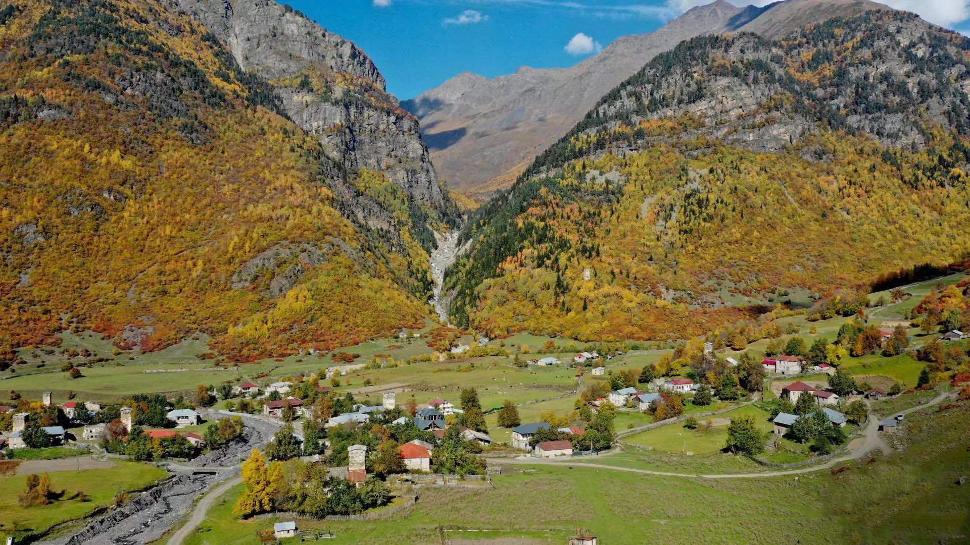
The Route: Zhabeshi Village
The route starts in Zhabeshi, the last village in the Mulakhi Community in Svaneti Region, at 1,600 meters above sea level on the banks of the Mulkhura River.
From Zhabeshi, follow the marked path that goes through the forest. This road is mostly used by the military. Along the way, you will pass by a military checkpoint and shepherd’s hut.
After hiking for a few hours, you will come to the endpoint, a large stone called “Dedas Kva” (“mother’s stone” in Georgian), at 2,310 meters above sea level. Here, Tviberi Glacier and Icefall will appear in front of you (Icefall is a part of the glacier, covered with a large number of crevasses).
The Route: Tviberi Glacier
Tviberi Glacier is located in the basin of the river of the same name, on the southern slopes of the Central Caucasus Mountains.
Getting to the base of the glacier is not recommended, since there is a large moraine in front of it. Note the amazing views of the Toti, Seri, and Tviberi Glaciers from Dedis Kva.
Follow the same path on the way back.
Cookie Policy