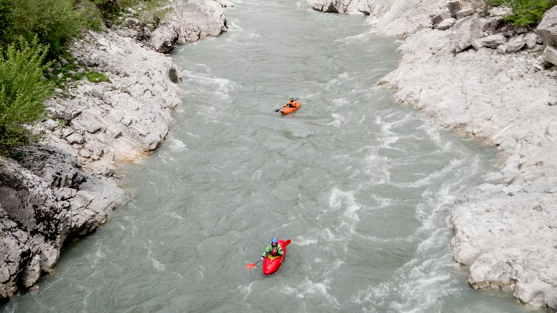
Kayaking on the Rioni River
Difficulty
The difficulty rating of the sections of the Rioni River ranges from 2 to 5.
Location
The village of Chiora, where the route begins, is in Oni municipality, on the right bank of the Rioni River, in the Racha-Lechkhumi Region.
The River
The Rioni River has its source on the southern slopes of the Caucasus Mountains, near Mt Pasismta, 2,960 meters above sea level. The length of the river is 327 kilometers, and it is fed by glacier, snow, rain, and underground waters. It flows into the Black Sea near the city of Poti. From its source, it passes through five municipalities and cities: Oni, Ambrolauri, Kutaisi, Vani, and Poti.
The Route
The first section starts near the village of Chiora, 1,300 meters above sea level, and ends at the confluence of the Rioni and Chanchakhi Rivers, at 1,170 meters above sea level. The length of the first section is 3.5 kilometers, with a drop in elevation of 130 meters and a difficulty rating ranging between 4 and 5 (extremely difficult, long and difficult rapids, steep drops, and large rocks).
The second section starts at the confluence of the Rioni and Chanchakhi Rivers, at 1,170 meters above sea level, and ends in the village of Utsera, 1,020 meters above sea level. The length of the second section is nine kilometers, with a drop in elevation of 200 meters and a difficulty rating ranging between 3 and 4 (intermediate difficulty, high and irregular waves, cliffs and whirlpools, transparent but narrow exits).
The third section starts in the village of Utsera, 1,020 meters above sea level, and ends in the city of Oni, 830 meters above sea level.
The length of the third section is seven kilometers, with a drop in elevation of 190 meters and a difficulty rating of 3 (intermediate, numerous regular waves, open and clear exits, current of intermediate speed, requires maneuvering). A paved road runs alongside this section.
The fourth section starts in the village of Mukhli Canyon, 760 meters above sea level, and ends in the village of Khidikari.
The length of the fourth section is six kilometers, with a drop in elevation of 45 meters and a difficulty rating fluctuating between 2, 3, and 3+ (intermediate difficulty, numerous regular waves, open and clear exits, current of intermediate speed, requires maneuvering).
The fifth section starts at the confluence of the Rioni and Shareula Rivers, 400 meters above sea level, and ends in the village of Tvishi, 330 meters above sea level.
The length of the fifth section is 13 kilometers, with a drop in elevation of 70 meters and a difficulty rating fluctuating between 2, 3, and 3+ (intermediate difficulty, numerous regular waves, open and clear exits, current of intermediate speed, requires maneuvering). A paved road runs alongside this section.
The sixth section passes through the gorgeous Tvishi Canyon. The length of the sixth section is 11 kilometers, with a drop in elevation of 55 meters and a difficulty rating ranging between 3 and 3+ (difficult, tall and irregular waves, cliffs, transparent but narrow exits).
The Season
The best months for kayaking on the Rioni River are as follows:
First section – late April and early November;
Second and third sections – late April and late November;
Fourth section – April and November;
Fifth section – all year around; and
Sixth section – April and May.
How to Get to the Starting Point
It is 26 kilometers from Oni to the village of Chiora, the starting point, which can be reached using any kind of motor vehicle.
Safety
You must be experienced in order to kayak down this river.
It is recommended that you go down the river with a local kayaker or at least obtain the necessary information from one of them. Contact a local company in advance to book a tour.
The minimum age for kayaking is 18.
Cookie Policy