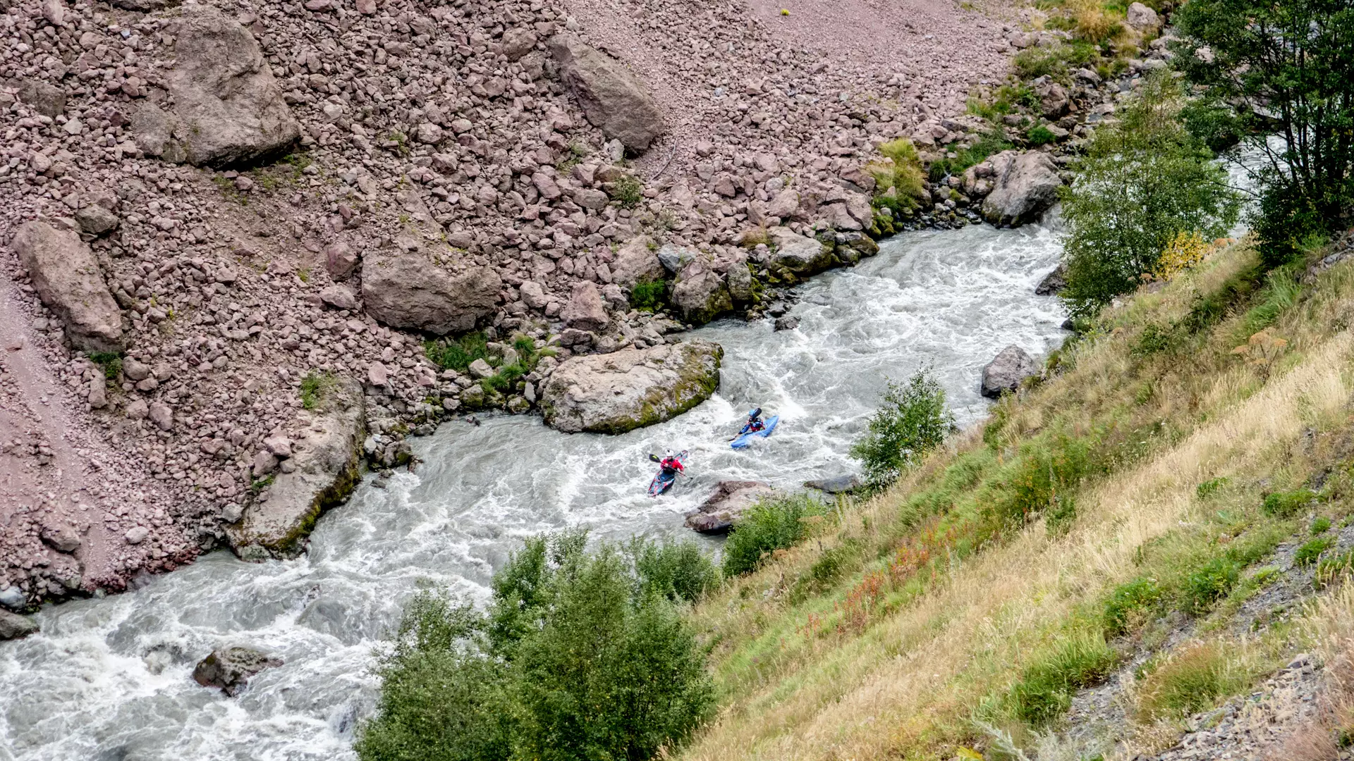
Kayaking on the Tergi River
difficulty
The difficulty rating of the sections ranges between 2 and 5.
Location
The Truso Valley, where the route passes, is located on the northern slope of the Greater Caucasus, 2000 m above sea level.
River
The Tergi River originates from the Zilgakhokhi Glacier. The length of the river is 623 km, of which 85 km flows on the territory of Georgia, and ventually converges with the Caspian Sea.
Route
The first section of the route starts at the mineral waters of the Truso Valley, 2170 m above sea level, and ends at the village of Kvemo Okrokana, 2000 m above sea level. The length of the first section is 4 km, with a drop in elevation of 170 m, while the difficulty rating ranges between 4 and 5 (quite difficult, high and irregular waves, cliffs and whirlpools, transparent but narrow exits).
The second section begins near the village of Goristsikhe, 1870 m above sea level, and ends in the townlet of Stepantsminda, 1740 m above sea level.
The length of the second section is 9 km, with a drop in elevation of 130 m. The difficulty category ranges between 2 and 3 (medium, numerous regular waves, open and clear passages, medium speed water, requires maneuvering).
Seasonality
Kayaking on the Tergi River is possible from May to October.
How to get to the starting point
You will need an SUV to reach the starting point of the route from the village of Kobi. Тhe latter is located 20 km far from Stepantsminda.
Safety
Prior experience in kayaking is necessary to take this route.
It is advised to either kayak with a local kayaker or at least get information from such a person before your trip. To book a tour, contact a local company in advance.
The minimum age for kayaking is 18 years.
Cookie Policy